The South West Coast Path: From Minehead to South Haven Point
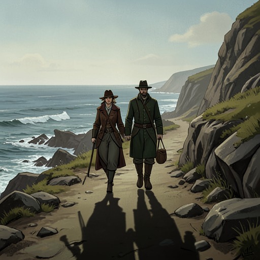
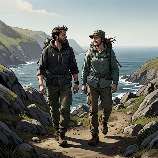
The Salt PathThe South West Coast Path: From Minehead to South Haven Point is the small, brown guidebook that Ray and Moth carry as they begin their long walk without a home. Its waterproof cover and single Ordnance Survey map spanning the whole route make it an object of practical reassurance; its estimates and narrow map coverage also reveal how little a guide can anticipate the terrain or the walkers’ circumstances. It offers a line to follow, but the path they encounter is longer, steeper, and more isolating than its pages initially suggest.
Choosing a Guide for an Uncertain Journey
Before setting out, Ray rereads Five Hundred Mile Walkies and imagines following the South West Coast Path from Poole to Minehead. The direction seems strategically important: the stretch from Minehead to Padstow appears hardest, while the later section from Plymouth to Poole seems easier, so beginning in the south would give Moth time to adjust before the difficult stages. Yet the guidebooks Ray finds at Cotswold Outdoors all describe the route from north to south. Ordnance Survey maps might allow them to plan independently, but buying enough to cover the whole trail would cost too much and carrying them would add a burden.
The chosen book is Paddy Dillon’s compact guide, The South West Coast Path: From Minehead to South Haven Point. Its route-wide map and size settle the choice: it fits comfortably in Ray’s hand and in Moth’s pocket. The practical solution does not resolve their disagreement about direction. Moth rejects the prospect of walking five hundred miles while reading a book backwards and proposes starting in Minehead, taking the trail slowly. The guide’s north-to-south presentation thus becomes not an ideal plan but the available framework for beginning.
The guide also unsettles the distance they think they are undertaking. Comparing it with Mark Wallington’s account, Ray realizes that the path is not the 500 miles suggested by the older book: it is 630. The discrepancy may reflect a lost count, a missed section, or changes in how the route is measured. For a couple with little money and limited carrying capacity, this is not a minor correction. The guide converts an already daunting undertaking into a longer one before they have taken their first step.
Map, Terrain, and Underestimation
At Minehead, the guide’s map helps orient the couple toward the start of the trail. Moth traces its orange line along the promenade to the monument of giant metal hands holding a map, where the path begins. The printed route gives them a way to move from uncertainty into action: after lingering at the monument, taking photographs and adjusting their packs, they finally start the walk.
The first climb immediately tests the authority of the text. Halfway up a steep zigzag through the woods, they stop on a bench with a glimpse of the sea and reread the guide’s description of the route drifting inland and uphill. What the wording makes sound gradual is, underfoot, an excruciating ascent. Ray concludes that Paddy Dillon will be the master of underestimation; Moth jokes that if this counts as drifting, a section described as quite steep will be worse. The moment establishes a recurring gap between the guide’s measured language and the effort demanded by the actual ground.
That gap does not make the book useless. It remains a compact reference they can consult while tired, carrying their equipment, and confronting unfamiliar terrain. But the first climb teaches them not to treat its phrasing as a reliable measure of difficulty. The guide supplies the route; their bodies supply a second, more immediate account of it, written in aching legs, hips, and shoulders and in the effort of climbing toward the sea cliffs.
A Route Map with a Narrow Horizon
The map’s usefulness has a consequential limit: its coverage extends only roughly half a mile inland. On a beach near Bideford, the couple realize they have forgotten Moth’s medication in the van. An inland town or chemist might be within walking distance, but the map does not show enough land beyond the coast for them to know. They consider arranging for the medication to be posted to Clovelly instead.
In that predicament, the guide’s comprehensive coverage of the coastal route cannot answer the question they most urgently need to ask. The coast occupies one side of their mapped world; beyond the narrow strip inland lies an uncertain area they cannot readily navigate. With no roof and very little money, that cartographic omission becomes a lived form of isolation. The scene makes visible a distinction the guide cannot capture: a place may be close on a map and still be practically unreachable to people without transport, money, or a secure base.
The book also helps organize choices about whether to continue walking or take a bus. When Ray and Moth consider bypassing Barnstaple and Bideford, the possibility of seeing the extensive dunes of Braunton Burrows weighs against saving time and easing the physical demands of the route. Their decisions are never simply about following a line. Money, pain, energy, and the landscape they hope to encounter all affect how they use the itinerary.
From Instructions to a Way of Continuing
Over time, the guidebook’s importance belongs less to the promise of exact directions than to its role in making the next section imaginable. Ray describes walking as a repeated sequence of steps, each day survived giving reason to face the next. The map’s continuous route supports that forward movement, even as the lived journey revises the expectations created by its distances and descriptions. The path may be hard to measure from the page, but it is still something the couple can follow one stretch at a time.
That structure matters most when the walk itself becomes a source of chosen direction. After more than 250 miles, the couple could stop and take a bus toward the familiarity of Wales; instead, watching it depart, they decide to continue. In later passages, the trail is a form of security because it gives them a definite task for tomorrow, even when their future beyond walking is uncertain. The guide is not described as resolving that uncertainty. It gives the journey a route, while the meaning of continuing is made through their repeated decisions to shoulder their packs and go on.
The book’s practical promise is therefore both real and limited. Its waterproof cover, pocketable size, and whole-route Ordnance Survey map help two people with scarce money plan and undertake a 630-mile walk. Yet its underestimated climbs and half-mile inland margin expose the limits of any printed representation of a landscape. The guide can point toward the next stretch; it cannot measure what that stretch will cost in pain, money, or effort, nor guarantee access to what lies beyond its mapped edge.